


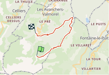

18,1 km | 34 km-effort

Benutzer


Kostenlosegpshiking-Anwendung
 SityTrail
IGN / Geografische Institute
SityTrail World
Die Welt öffnet sich für Sie
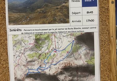
Tour Wandern von 11,6 km verfügbar auf Auvergne-Rhone-Alpen, Savoyen, Les Avanchers-Valmorel. Diese Tour wird von dautriche vorgeschlagen.
Un grand classique de la station, à partir de l'arrivée du télécabine de Pierrefort, monter à Crêve Tête pour un déjeuner sur un point culminant face à un panorama magnifique puis redescendre tranquillement à la station, une ballade de pur bonheur !


Wandern

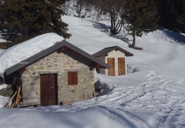
Skiwanderen

Skiwanderen
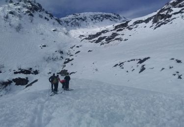
Skiwanderen
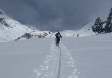
Skiwanderen
Skiwanderen
Wandern
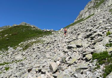
Wandern
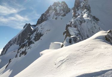
Schneeschuhwandern